Line 61 Map
Directions For Citizen Use
This map shows the Enbridge Tar Sands Pipelines. The north-south diagonal pipeline is Line 61, while the east-west line across the far north of the state is Line 5.
The red stars represent oil spills of 1 barrel or more from 1986 through 2016; you can click on any of these for information about the spill(s) at that location. The green symbols represent pump stations along the pipeline; click on them to get the station names. You can zoom in and out and change the basemap using the buttons in the upper-left corner of the map, and search for a particular location using the search bar in the upper-right portion of the map.
Data Source: Pipeline Information Management Mapping Application; Pipeline and Hazardous Materials Safety Admin; USDOT. This data source is no longer publicly accessible as of early June, 2017.
For an interactive map showing Enbridge’s existing 80-foot easements and potential expansions up to 240 feet, see the 80 Feet Is Enough website.
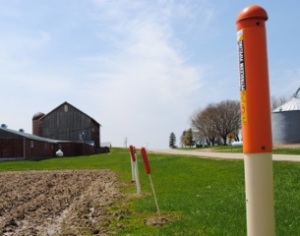
Pipeline Markers Along Roadways

